 en
en  Az
Az  Ru
Ru Zagatala seismic station
About the station
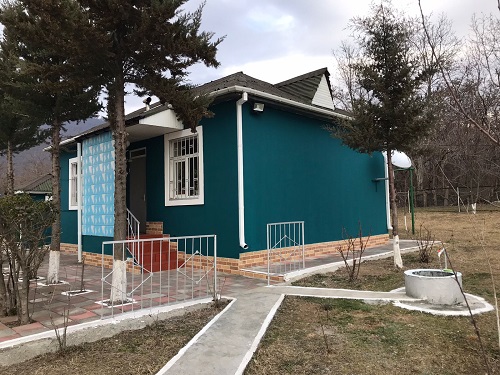 Zagatala is in the northwest of Azerbaijan, on the Southern slopes of Greater Caucasus in the Ganykh-Agrichay valley. Has a border with Georgian republic in the south, in the West and the East with Balaken and Gakh regions, and with Dagestan republic in the north. Zagatala city is situated at the height of 535 meters, 445 km apart from Baku, on the Tala river bank, on Evlakh-Balakyan Highway, in 25-30 km from the famous trading center of the East "Askibazar" at the foothills of Greater Caucasus. The territory mainly consists of heights and lowlands. As in the Balakyan-Zagatala zone there are industrially important fields (Filizchay, Katekh, Gasdag, etc.). Zagatala also was important part of the Albanian state and situated in the West. The world famous Plane trees which is considered as miracle, with a diameter of 6-7 meter and 750 years old is in Zagatala. On May 7, 2012 there was a strong earthquake, it destroyed many structures, but there were no losses among population.