en
en  Az
Az  Ru
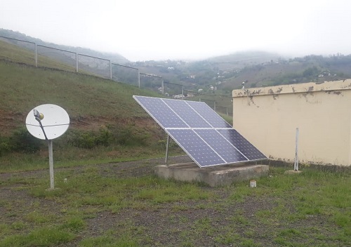
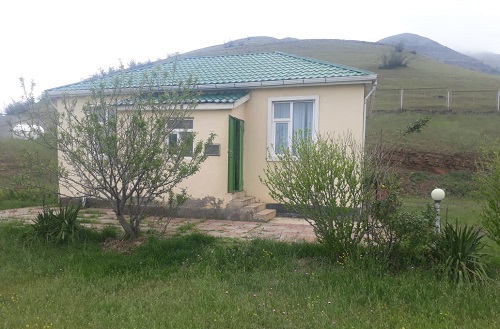
Ru Yardimly seismic station
About the station
 Yardimly is one of administrative regions of Azerbaijan Republic. Since 1920 for 1930 was called as district Vergedyuz, of Lankaran’s region. Since 1930 for 1938 has been registered as Vergedyuz region.
Since 1938 is called as Yardimly. The name of Jardymly is connected with the name of an ancient city of "Yardem". The name of Yardimly associated with the name of an ancient city "Yardem". Academician Ziya Buniyatov in the book «Azerbaijan of VII-IX centuries» shows a map on which the "Jardem" city located to the north of Ardebil on territory of modern Yardimly. Yardimly borders with Islamic Republic Iran and with the Azerbaijan regions Lerik, Masally and Dzhalilabad. In the south length of border with Lerik is 40km, in the east 11km with Masally, in the northwest 20km with Dzhalilobad. In the north and the West the length of border with Islamic Iranian Republic is 96km. The region consists of 30 administrative and territorial units, 30 municipalities, 88 settlements, also from 1 city and 87 villages. The biggest and longest river in the region is Vilyash. It joins Caspian Sea and 111km long. The regions territory is surrounded by Talish Mountains (the highest point Shahnishin 2490 meters), mountains Peshtesar (the highest point is Peshtesar 2490 meters) and Buravar mountains.