 en
en  Az
Az  Ru
Ru Nakhichivan seismic station
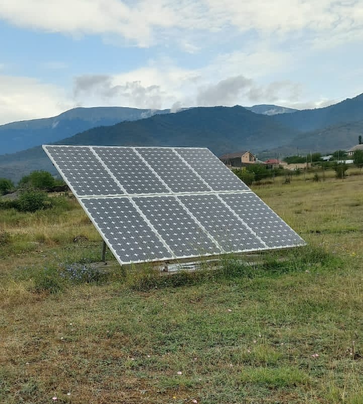
About the station
 The Nakhchevan Autonomous Republic is located to the southwest from Small Caucasus Mountains. The Nakhchevan Autonomous Republic is a typical mountain territory. 32% of the territory is at height of 600-1000M above sea level, 48% at height of 2000м, and other 20% are above 2000м above sea level. The mountain territory from the North is surrounded with Dyaryalyaz Mountains, and Alyangyaz mountains from the East. The Mountain chain relating to Small Caucasus - Alyangyaz has the highest point Gapychyg (3906м), and the highest point of Dyaryalyaz mountain is Kyukyu Mountain (3120м). In 1921 in a consequence of Armenia captured Azerbaijani area Zangezur, Nakhchevan's territory separated from other republic. In 1924 the Nakhchevan Autonomous Republic with capital Nakhchevan was admitted. The total area of the autonomous republic makes 5462,5 м2, with population more than 400 000.
There was a strong and destructive earthquake in Nakhchevan in 1906. It brought a huge loss to structures and residents of the city.