en
en  Az
Az  Ru
Ru Mingachevir seismic station
About the station
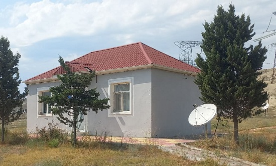 The city of Mingechaur was constructed on the river Kura because of hydroelectric power station building. He got the city status in 1948. From the geographical point of view the city is in the center of the republic, at both coast of Kura river. The Mingechaur reservoir is in 3 km to the northwest from the city. The volume of a reservoir makes 15,7 billion m3,lenght is 70 km, maximum width is 18 km, area of a surface of the water is 605 m2, average depth is 27 m (the maximum 83 m), water level changes on the average from 5 to 7 m. Length of a dam is 1550 m. According to historical data, 5000 years ago, small city was settled down in Mingechaur's territory. On artifacts found in Mingechaur's territory there were Albanian inscriptions which have great historical value.