en
en  Az
Az  Ru
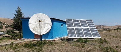
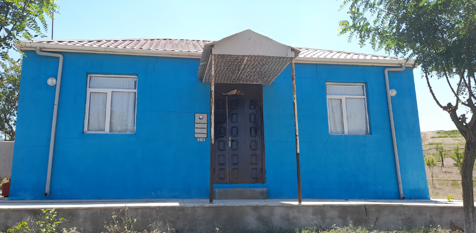
Ru Jalilabad seismic station
Coordinates:
39.240 N, 48.390 E
History of Origin:
2003-03-29
About the station
 Territory of the region are plains and low mountains. In the eastern part some places are lower of ocean level. Region border from north with Bilasuvar, from east with Neftchala, from south with Masally, from northern-west with Yardymly, and from west with Islamic Republic of Iran. From 1930 till 2 July 1967 this region was named as Astrakhanbazar. In 1967 by the decree of The Presidium of the Supreme Soviet of Azerbaijan SSR this region was named Djalilabad in the name of great Azerbaijan’s writer Djalil Mammedguluzadeh.