en
en  Az
Az  Ru
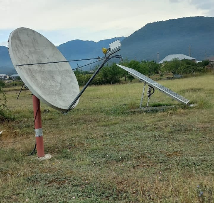
Ru Ismailli seismic station
About the station
 The region is mainly mountainous. Ismayilli ground’s above sea level height change from 200 m to over 3629 m (Babadag). Region borders from north with Guba, East with Shamakhi, Southern-east with Akhsu, South with Kurdamir, Southern-west with Goychay and West with Gabala. Ismaylli region located in the southern slope of the Grand Caucasus mountain range, the high and middle-high mountain zones, Ajinour low upland and in a valley of Alazan Haftaran. Region most highest peaks are Babadakh (3629m), Asaddakh (3471m), Garaburkha (3345m), Shahnazardakh (2874m) and Gamcha(2139m).
In October 1981 earthquake in this area caused great destruction and large amount of economic damage. In the region Jurassic aged sediments, opposed to the small Caucasus, are only the sedimentary rocks. The northern territory of the region in IV centuty BC belonged to Albania.