 en
en  Az
Az  Ru
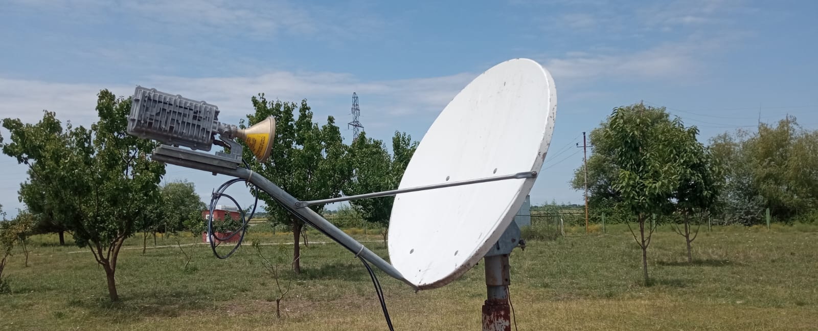
Ru Horadiz ( Fuzuli ) seismic station
Coordinates:
39.460 N, 47.320 E
History of Origin:
2013-10-23
About the station
 The Fizuli region covers Karabakhs mountain ridge, the southeast from foothills to Araz river, inclined plains and low areas. Bordered with Dzhabrail, Hodzhavend, Agdzhabedi and Bejlagan regions and also with Iran along with Araz river. Flowing in region rivers Guruchay, Kondalanchay, Gozluchay, Chereken - the rivers of Araz basin. The regions basis was put in 1827, and the first name was Garabulag. The region has been formed on August, 8th, 1930 and was named Garyagyn. In 1959 the name of Garjagyn has been changed to Fizuli in honor of the 400th anniversary of great Azerbaijan poet Mohammed Fizuli.