 en
en  Az
Az  Ru
Ru Heydarabad seismic station
About the station
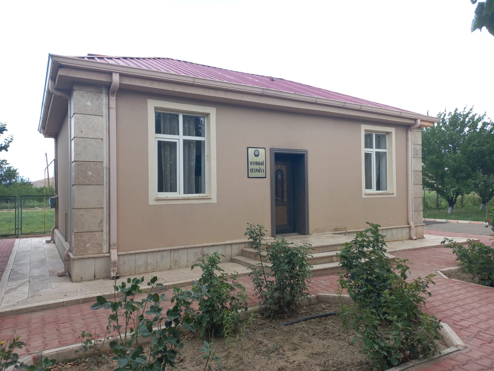 It is a district which belongs to the Nakhchivan Autonomous Republic. The area of the district is 151.34 square kilometers. Heyderabad Seismic Station of RSSC ANAS is located in this district. The surface is mountainous in the north and east, and in the Arazboyu part it consists of a sloping plain separated from each other by ridges and hills. In the southeast, it is separated from the Sharur plain through the Dahna and Validagh heights. From the north-west, it is bounded by the south-eastern foothills of the Sarıbulag Mountains and connects with the Ağrı plain. In the plain, alluvial and alluvial-proluvial, in the mountainous part, especially in Validagh, where the absolute height reaches 1100-1200 m, Devonian and partially Cretaceous sediments are spread. There are clay, marbleized limestone deposits and manifestations, mineral water deposits in the area. It has a dry continental climate. Summer is hot and winter is cold. Karachay, Chapan River and Araz River flow along the border of Turkey.
