en
en  Az
Az  Ru
Ru Gusar seismic station
Coordinates:
41.510 N, 48.260 E
History of Origin:
2011-04-12
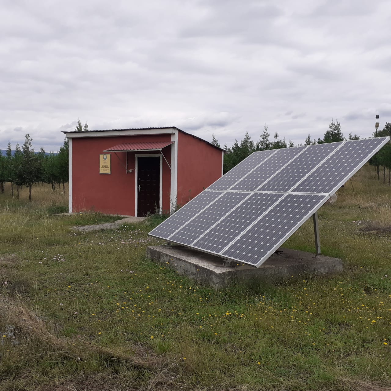
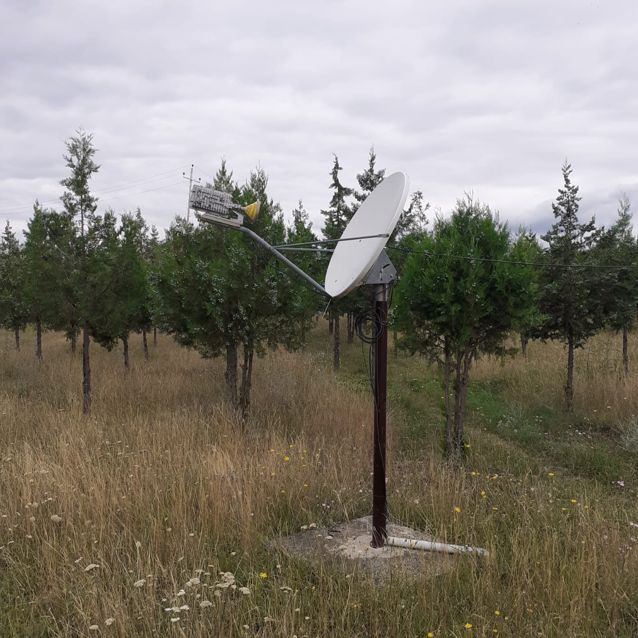
About the station
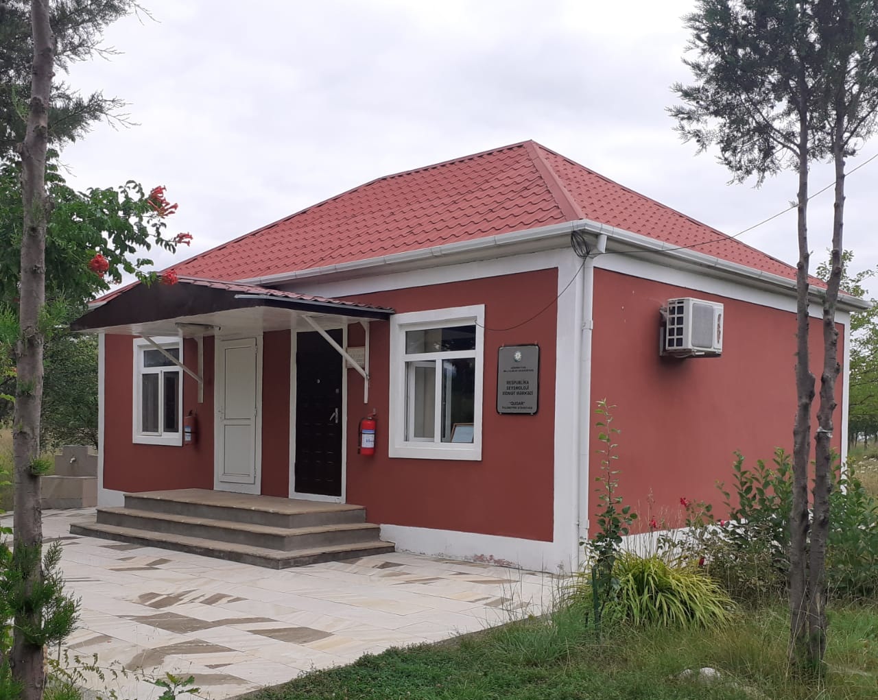 Gusar is situated on the Gusar inclined plain, at a foothills of Greater Caucasus. The highest points of Azerbaijan Bazardyuzyu (4466m) and Shagdag (4242m), and known greenland Shakhnabat, are in Gusar. The northern border of the area passes through the river Samur, northwest, western and southwest borders are Greater Caucasus, and the southern border is the river Gusarchay. In the east the border of the area reaches the crossing of Gusar and Shollar plains.