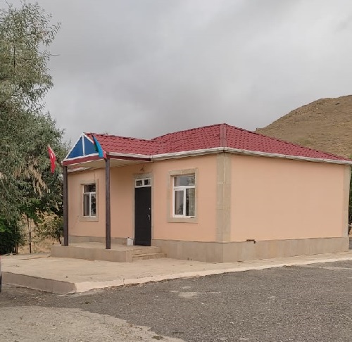
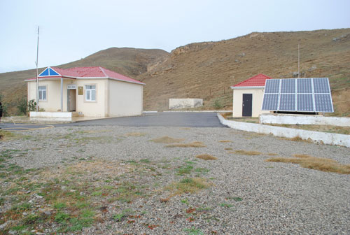
Gobustan seismic station
About the station
 Being in the foothills to the South and southwest from Greater Caucasus, to the west of the Absheron peninsula, located in 60км from Baku, Gobustan being the low-mountain region, contains thousands pages of Azerbaijan history. It is located to the east from Shamakha, and is 101km apart from Baku. Gobustan's landscapes are – valleys, ravines and rocks. Gobustan's name occurs from the word "Gobu" (gorge). For this reason Gobustan is considered the earth of gorges and ravines. The highest point here is 1047m. The hilly and clay relief is inherent to this region. There are a set of mud volcanoes in the south part of region. More than 6 thousand rock paintings which reflect material and spiritual culture of the Azerbaijani people are found in Gobustan's mountains. The most ancient rock painting belongs to the Mesozoic Era, but also is not excluded that inhabitants lived there before that era. Findings in Gobustan appeared in 1930-1940, and continued to be discovered till nowadays. Findings in Gobutsan are a collection of drawings which are the archaeological material, that help to understand ancient human`s way of life.


 en
en  Az
Az  Ru
Ru