en
en  Az
Az  Ru
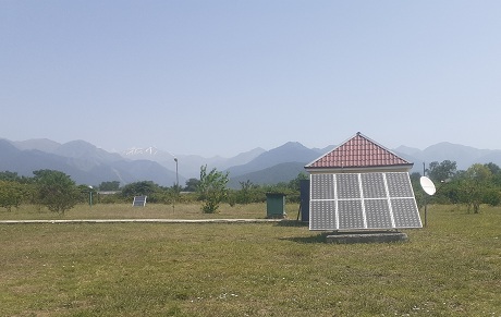
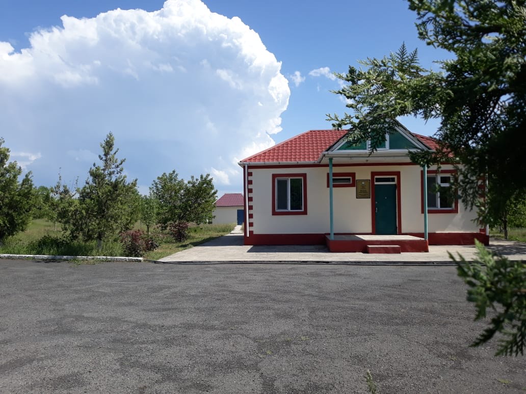
Ru Gabala seismic station
Coordinates:
40.940 N, 47.830 E
History of Origin:
2011-04-21
About the station
 The Highlands of the region in the northern begins in the central part of the southern slope of the hill of the Greater Caucasus till the Alazan-Haftarans (Kura-Ayrichay) valley, in the southern foothills of the Gabala Adzhinourskogo Plateau, the southern border of the plateau are replaced each other from the ridge Surhayhan (Akhar-Bahar) till the watershed. The ramifications of the Main Watershed - Saral, Tchoban woman, Muchug, Tufan and Agbulag cover the region from west to east. The administrative center - Gabala city is located on the right bank of the river Demirparanchay. When the sky is clear you can see the highest peak of Azerbaijan - Bazardyuzyu. Rivers flow through the region - Tykyanlychay, Gumchay, Demirparanchai and Veendam