en
en  Az
Az  Ru
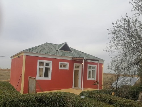
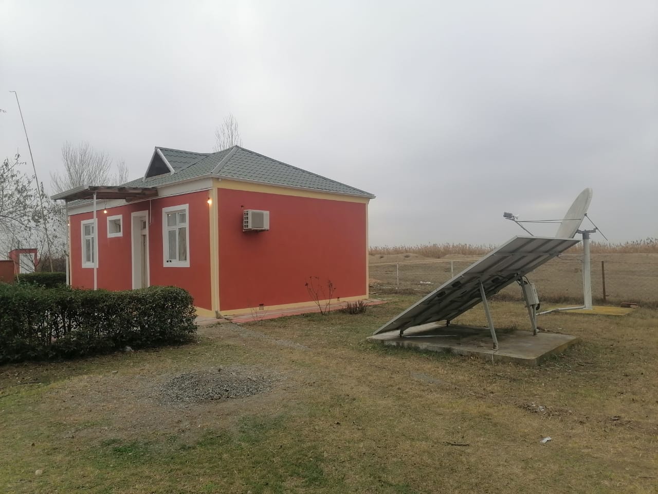
Ru Barda seismic station
About the station
Barda district
 The territory of the region is located in the central part of the Karabakh plain. The center is the city of Barda. The surface is a gently sloping and wavy plain and covered with sediments of the anthropogenic system. There are deposits of clay, gravel and sand. In the village of Muganly there is a healing natural spring called "Muganly water". The climate is moderately hot, dry subtropical. Winter is dry. The average temperature in January is 1.2-1.8°C, in July 25.6-26.5°C. The annual amount of precipitation is 250-350 mm. The Terter and Khachin rivers flow through the region, and the Kura river flows along the northeastern border. Mostly gray and gray-meadow soils are common. The natural vegetation is predominantly semi-desert type. On the banks of the Kura there are rare tugai forests (total area 7.3 thousand ha). Animals: fox, wolf, wild boar, gray hare, lynx, etc. Birds: turkey, pheasant, goose, duck, etc. The Barda Reserve is located on the territory of the district.
Barda is a developed agricultural district.
The city of Barda is one of the oldest residential centers not only in Azerbaijan, but also in the Middle East as a whole. This is evidenced by materials found during archaeological excavations, including coins from the era of Alexander the Great, Araki and the Roman Emperor Augustus. Historical sources of Barda of the times BC indicate links with existing countries.