 en
en  Az
Az  Ru
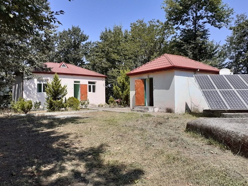
Ru Astara seismic station
About the station
Astara region
 It borders Iran in the southwest and southeast. The center is the city of Astara.
The relief is mountainous in the west (Talysh ranges), flat in the northeast (Lankaran plain). In the mountainous part, some peaks are high; the height is about 2000 m.
Anthropogenic deposits are widespread in a narrow strip of the Caspian Sea coast, and Paleogene deposits are widespread in mountainous and foothill areas. There are mineral springs (Ag kerpu, Istisu, Sim, Bi, Toradi, Sheikh Nasrullah springs, etc.). The climate is moderately hot with dry summers. The plain and foothills of the district are included in the zone of humid subtropics of the republic. The average temperature is from -1.5°С to 4°С in January and 15-25°С in July. The annual amount of precipitation is 1200-1750 mm. The Tangerud River flows through the territory, and the Astara River flows along the state border with the Islamic Republic of Iran. The soil types are podzolic-yellow earth-gley, brown mountain-forest, grassy mountain-meadow, etc. Most of the region (37.4 thousand ha) is covered with forests. There are relict chestnut-leaved oak, iron tree, silk acacia, azat, as well as oak, beech, hornbeam, walnut, linden, etc. Most of the Hirkan National Park is located in the Astara district. Animals: leopard, lynx, bear, forest cat, hedgehog, stone squirrel, badger, jackal, fox, wolf, wild boar, etc. Birds: pheasant, wagtail, goose, duck, pigeon, partridge, wild chicken, etc.