Seismology.Az
Republican Seismic Survey Center of the
Azerbaijan National Academy of Sciences
Republican Seismic Survey
Center of ANAS

ML 1.0

Gusar

Date:
11.06.2026 | 10:38:41 UTC
Local time:
11.06.2026 | 14:38:41
Coordinates:
41.25 N, 48.07 E
Depth:
1km

Gusar (2026-06-11_10:38:41 UTC)

Notes

According to the Bureau of Earthquake Research, a landslide was recorded in the village of Laza in the Gusar region, 10 km northwest of the Khinalig station (the magnitude and depth of the landslide were not recorded). There are no settlements in the area.
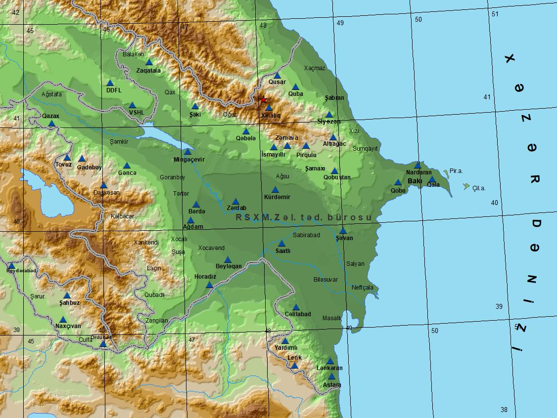
Gusar (2026-06-11_10:38:41 UTC)
Earthquakes
News
Home Page
Journals
Contact